Miles Hiked Today - 16.1
Total Miles Hiked on AT - 353.6/2,193 (16.12%)
Boots Off Hostal to Iron Mtn Shelter - camp at Iron Mtn Shelter
Total ascent - 4,344’
Total descent - 2,278’
Total States Completed - 1/14
Really solid day today. 16.1 miles with 4,344’ vertical ascent. No rain - beautiful, cool hiking weather. I set myself up for a 16-miler tomorrow and then a 10-miler into Damascus on Monday. There is supposed to be a big storm coming in tomorrow afternoon. I’m going to try and start really early to see if I can get a substantial portion of my 16-miles done by noon before it hits.
I again hiked by myself all day. I did run into Jiffy and Courtney at my shelter for the night. They were going to hike another 11 miles today to meet up with their group. Crazy! They slept in and hung out at last nights shelter until noon and then only hiked 7 miles to here. They just left around 6:30pm to hike another 11 miles - they’ll be hiking well into the dark - I’d assume until around 11pm (There’s some funky stuff going on out here). It was cool to have dinner with them. And - it confirms that the group (Maddy, Cascade, Pepper) are just ahead of me - not far at all. So - I’m not out here alone. I’ll catch them when I start going longer miles.
30 days (1-month) on trail. When I get to Damascus - I plan to do some summary things to look back at the month with some stats (rain days, hotel days, total elevation, miles, etc). I’m really excited to look at a few things to make some sense out of where I am.
One thing I can say for sure — I really drastically under focused on the elevation changes on the AT. I thought: “I live in Colorado - I’ve done mountains before - I’ve seen elevation - those are just hills on the East Coast”. Well - I should be slapped silly for such reckless thinking. There should be red warning signals, flashing lights, people with their hands waving over their heads with signs - “BEWARE OF SEVERE ELEVATION CHANGES”. Seriously - in reading books and videos on the AT - I really don’t think there was enough emphasis placed on total ascent and total descent numbers. There’s a reason most people will say the AT is more physically demanding than either the PCT or CDT (even though both of these go over 14,000’ mountains). It’s an incredibly strong statement to make. On my Zero - I plan to have some numbers to back this up. I honestly read about the elevation changes - but it just didn’t recognize with me so much. You know at the Grand Canyon - there’s all kinds of warning signs not to hike too far down into the canyon. It’s just human nature - most people just think about miles. Oh - I can walk a 1/2 mile into the canyon and back. That’s only a mile. Well - did you at all consider the steepness of the return 1/2 mile. It doesn’t seem like it should be a big deal - until it is a big deal.
Nothing else too crazy to report. Feeling pretty good today. The last couple miles were strong. I was powering through - probably my strongest miles of the day. That’s a really good sign. Feet, calves, shoulders - all sore. But hanging tough.
Have a great Easter tomorrow - I wish I could be there to celebrate!

Wilbur Dam

A lot of hiking high in the hills today
Looking out over Lake Watauga

Wilbur Dam

Could see a long way today

There’s 2 whitetail deer (only 2-3 of trip - bizarre)

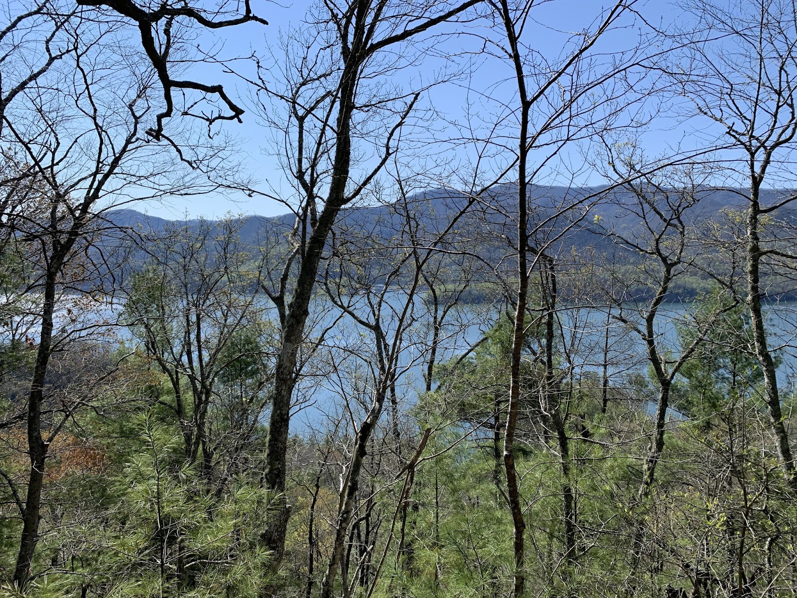
Lake Watauga

Nice overlook

View into canyon

Across Wilbur Dam

Lake Watauga- early morning

No comments:
Post a Comment